The Haute Route Pyrenees – a very brief account
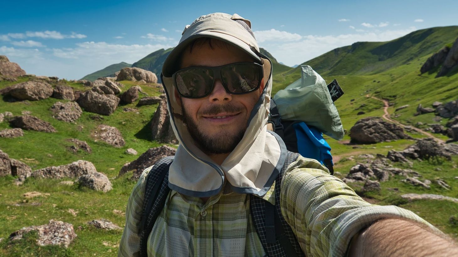
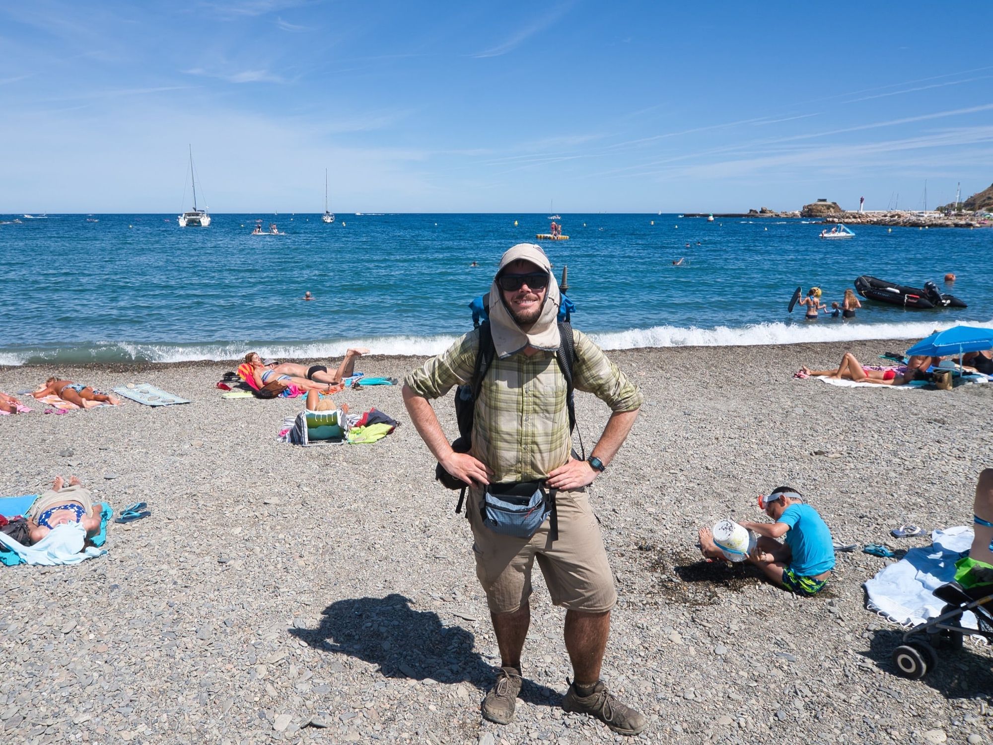
On 21 August 2019, I dipped my toes in the sea at Banyuls-sur-Mer, the eastern terminus of the Haute Route Pyrenees. Here are a few highlights and impressions from my 832km walk from Atlantic to Mediterranean.
In figures
- Distance hiked: 832km / 517 miles (measured by GPS; almost 100km more than planned distance)
- Total ascent and descent: 51,332m / 31.9 miles
- Hiking days: 33
- Days off: 4
- Average distance per hiking day: 25.2km / 15.7 miles
- Average ascent per hiking day: 1,556m / 5,104ft
- 2,000m peaks climbed: 6 (plus countless lower peaks)
- Resupply points: 12
- Baguettes eaten: 17
Folks looking for a comprehensive trip report may be disappointed. I’m a professional outdoor writer, and I need to keep my powder dry; there will be more detailed features on this trail in various magazines and online publications. There may also be a book about the trip too. That’s two books I need to find time to write…
Read more about my adventures in the Pyrenees here
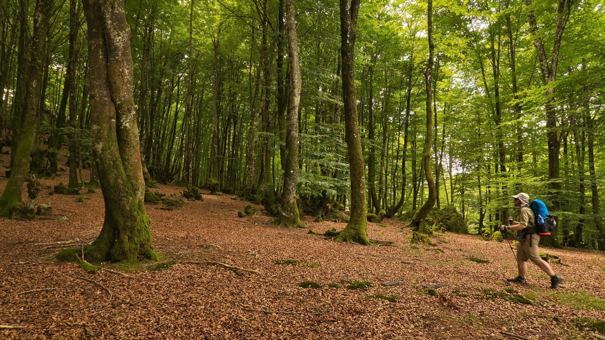
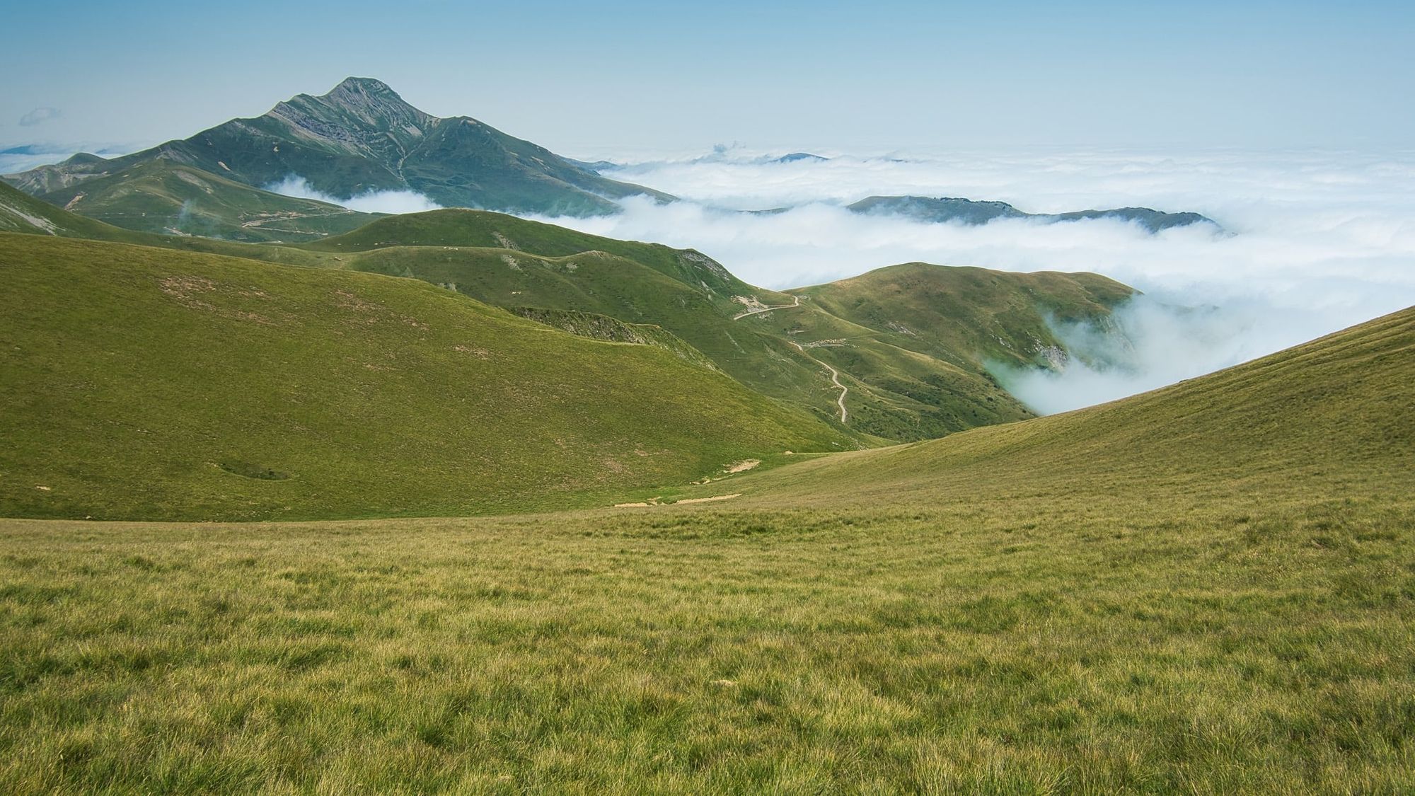
After years of dreaming and planning, I’ve successfully thru-hiked the HRP – with a few variants, which I’ll come to shortly. It has been the longest backpacking trip I’ve ever done, and also by some margin the hardest. Although I did no massive days (the most I hiked in a day was 36.7km / 22.8 miles), most days felt tough – 2,000m of ascent a day was routine, especially in the Central Pyrenees, and the terrain underfoot included boulder fields, exposed scrambling, bushwhacking in dense forest or undergrowth, and plenty more besides. That said, it was not a sufferfest. For every gruelling, hard-won kilometre, there would be another of beautiful ridge-top supertrail that I seemed to float along in a delighted reverie. And the weather (with a few major exceptions) was mostly excellent.
I hadn’t quite appreciated how a route of this length, connecting two seas across the width of a continent via such a varied wealth of mountain landscapes, would feel qualitatively different to other routes I’d done. At about the halfway point it felt as if I was just getting into my stride, and after three or four weeks trail life had simply become real life – hiking the HRP was just what I did every day.
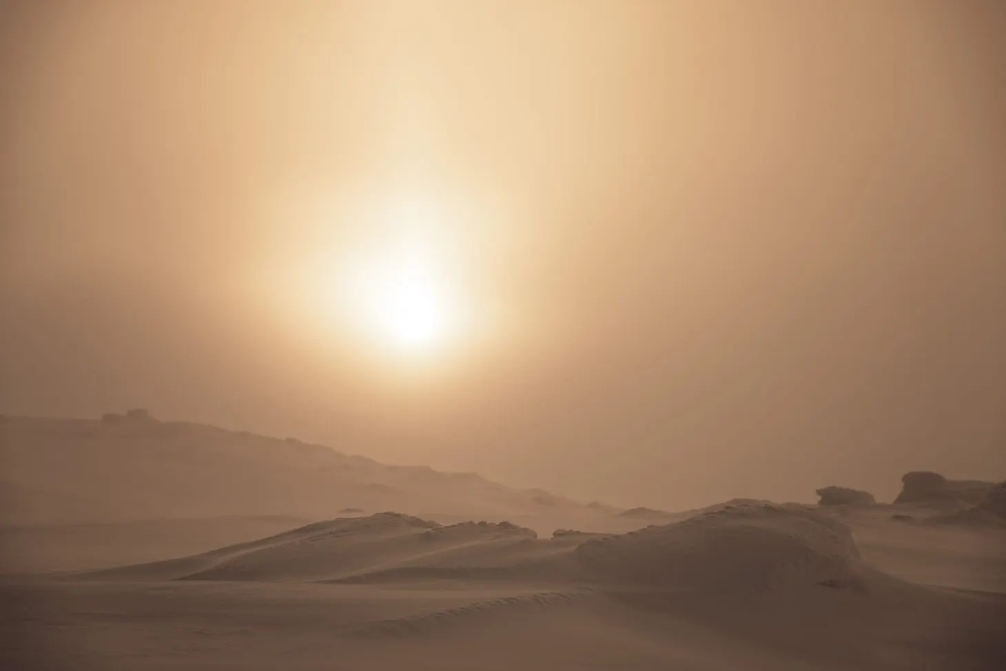
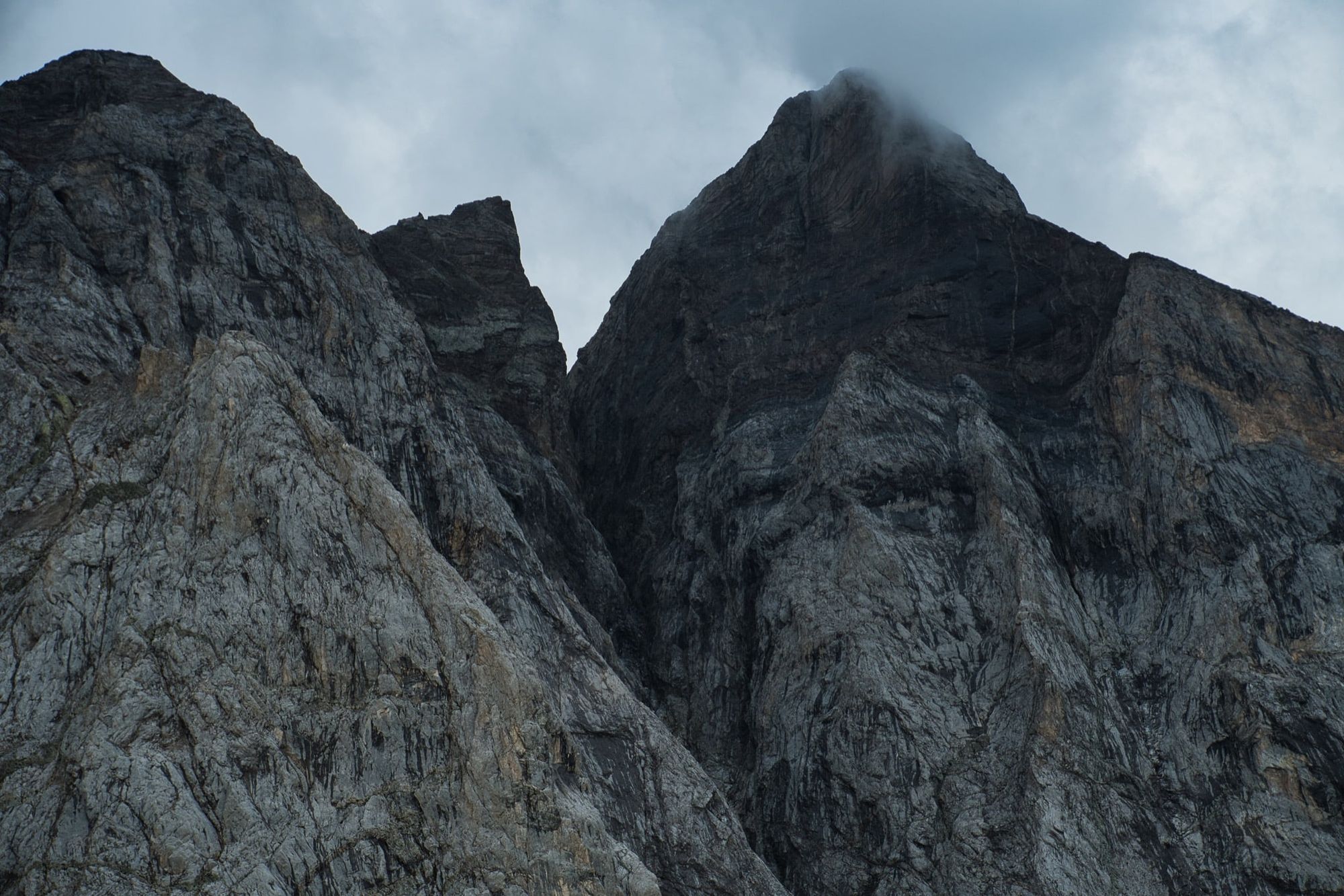
For the first 250km, as far as a few days after Lescun, the weather remained sunny and very hot. Finding enough water was challenging in the Basque Country too, as there are not many streams – and what streams existed were often dry – so I had to fill up to my full 4.5L capacity a few times (more often I’d carry 2.5L). Overnight temperatures were usually so mild that I didn’t even need my quilt. But the weather changed when I reached the bigger mountains after Pic du Midi d’Ossau. I experienced two days of genuinely horrific weather immediately before the descent to Gavarnie – back-to-back thunderstorms, torrential rain, hail, low temperatures, a bit of wet snow, high winds, the lot – prompting me to take the foul-weather alternative route via the GR11 to avoid Col du Palas, Port du Lavedan and Col de Cambales. Even the detour over Col de la Fache (2,664m, at that time my highest point on the trail) was tough in the conditions, and I had a close call in a particularly savage storm over Vignemale.
After Gavarnie the weather returned to normal for a few days and I coasted along familiar and easy trails before once again taking the GR11 alternative to avoid the difficult Portillon and Tuc de Mulleres areas. This was due to another spell of poor weather – albeit one that didn’t last as long as forecast. I’ll be back to hike what I’ve heard is a splendid section of trail. The GR11 diversion is also great, but it’s much easier and I had hiked it before in 2016.
Did you know that I send out weekly newsletters on the outdoors, writing, and outdoor writing? Subscribe here to receive my Pinnacle Newsletter.
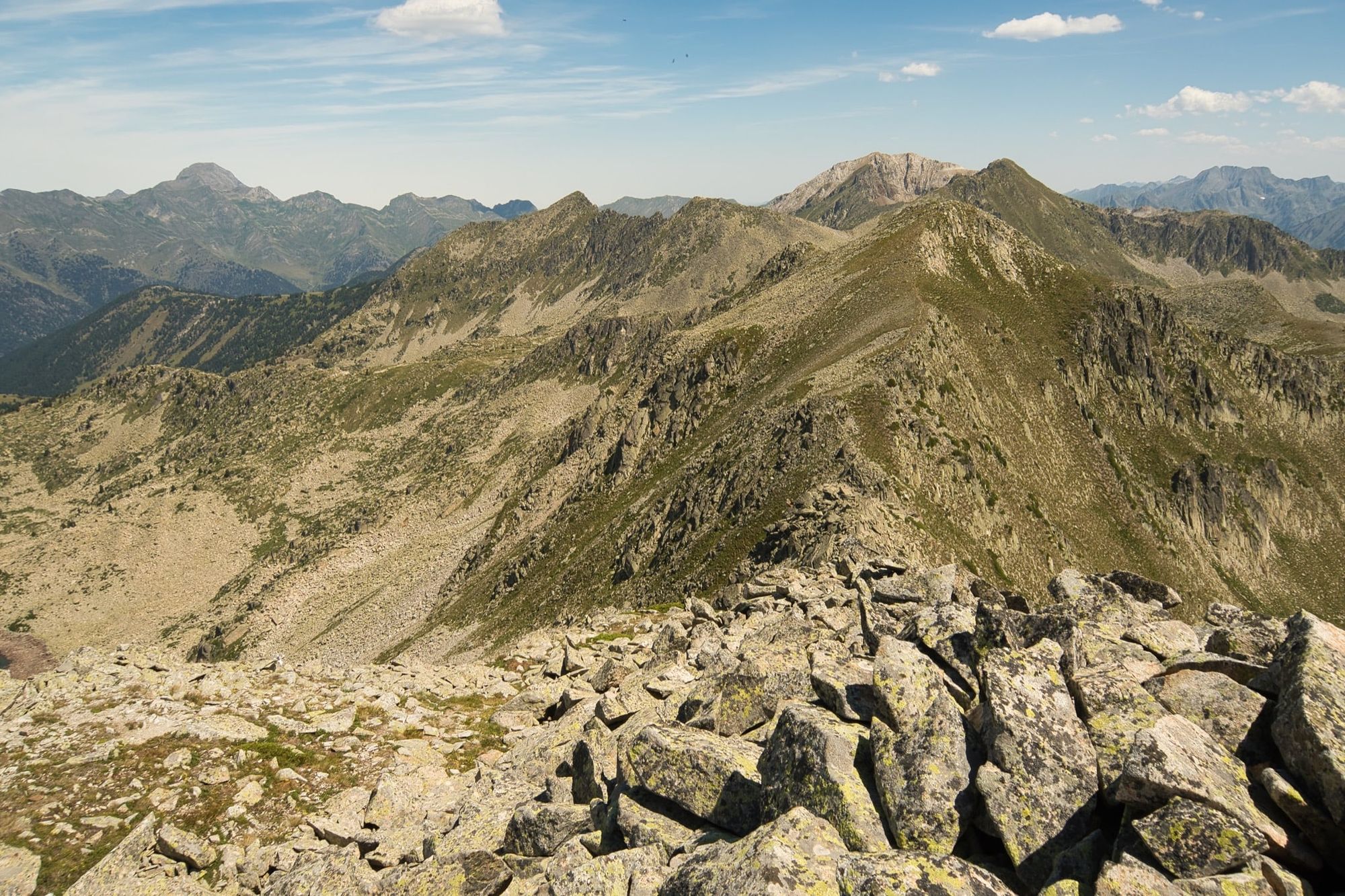
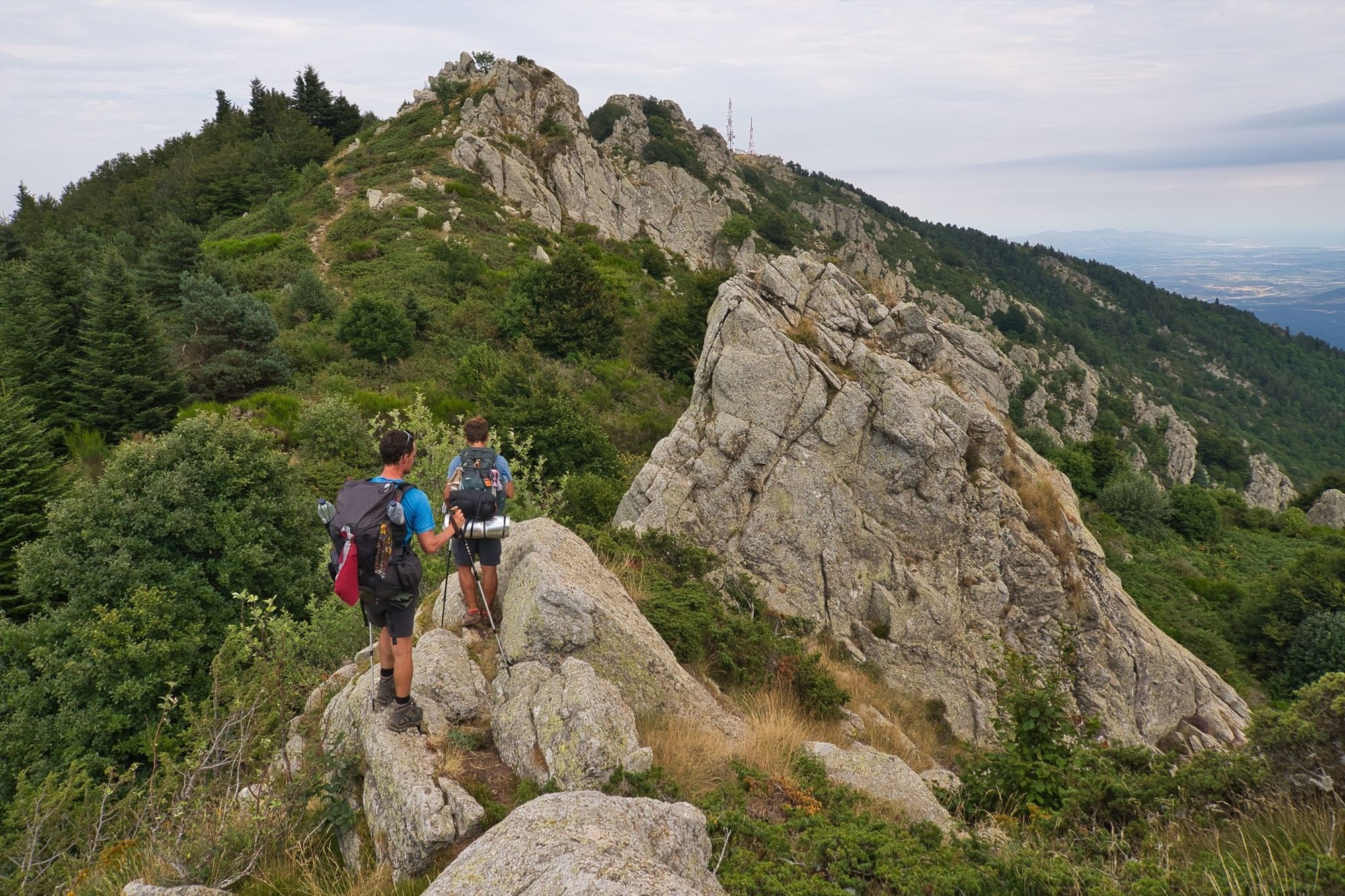
The difficulty and remoteness both went up a notch after Salardu. The ascent of Tuc de Marimanya (2,679m), and the subsequent ridge traverse and pathless boulder-fest that followed made for one of the hardest, wildest and best days on the whole trail. In fact, that entire section over Mont Rouch, Certescan (via the lengthy Tavascan resupply detour, an adventure in itself) and Vall Ferrera across to Andorra was of exceptionally high quality.
L’Hospitalet-pres-l’Andorra marked a watershed for me. I took a day off there to recover from another spell of wet and cold weather, and after leaving the village it started to feel as if I had the route in the bag – once I’d overcome a few notable remaining obstacles – and I began to relax, concentrating on having fun rather than indulging my tendency to over-plan things. Civilisation slowly encroached upon the trail. It got very busy once more – insanely so at times, far busier than I’d expected. But I was first to climb Pic Carlit (2,921m) early one morning after a superb high bivouac, and the ascent of Canigou (2,784m, the last 2,000m peak of the trip) was also an unforgettable experience.
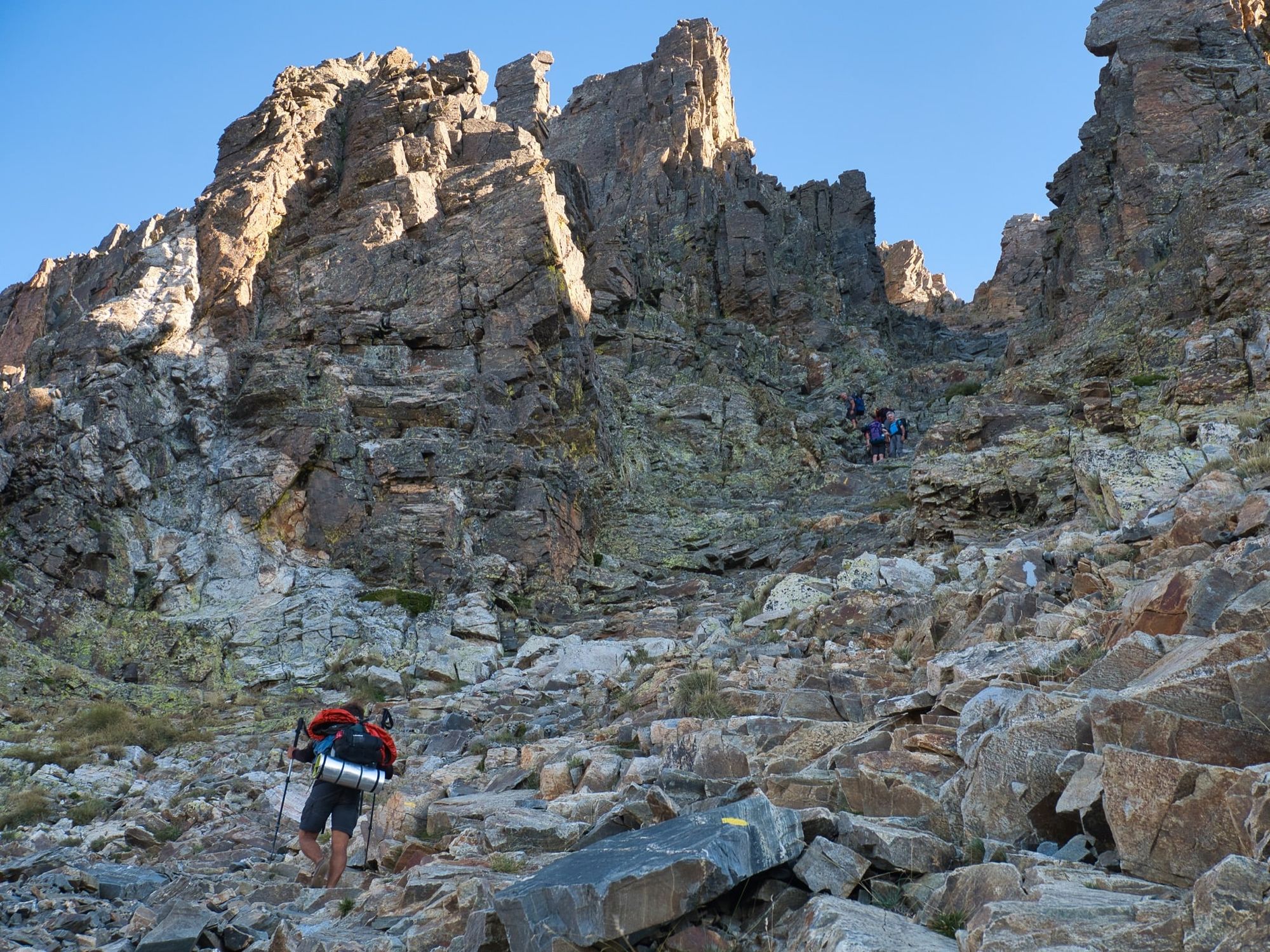
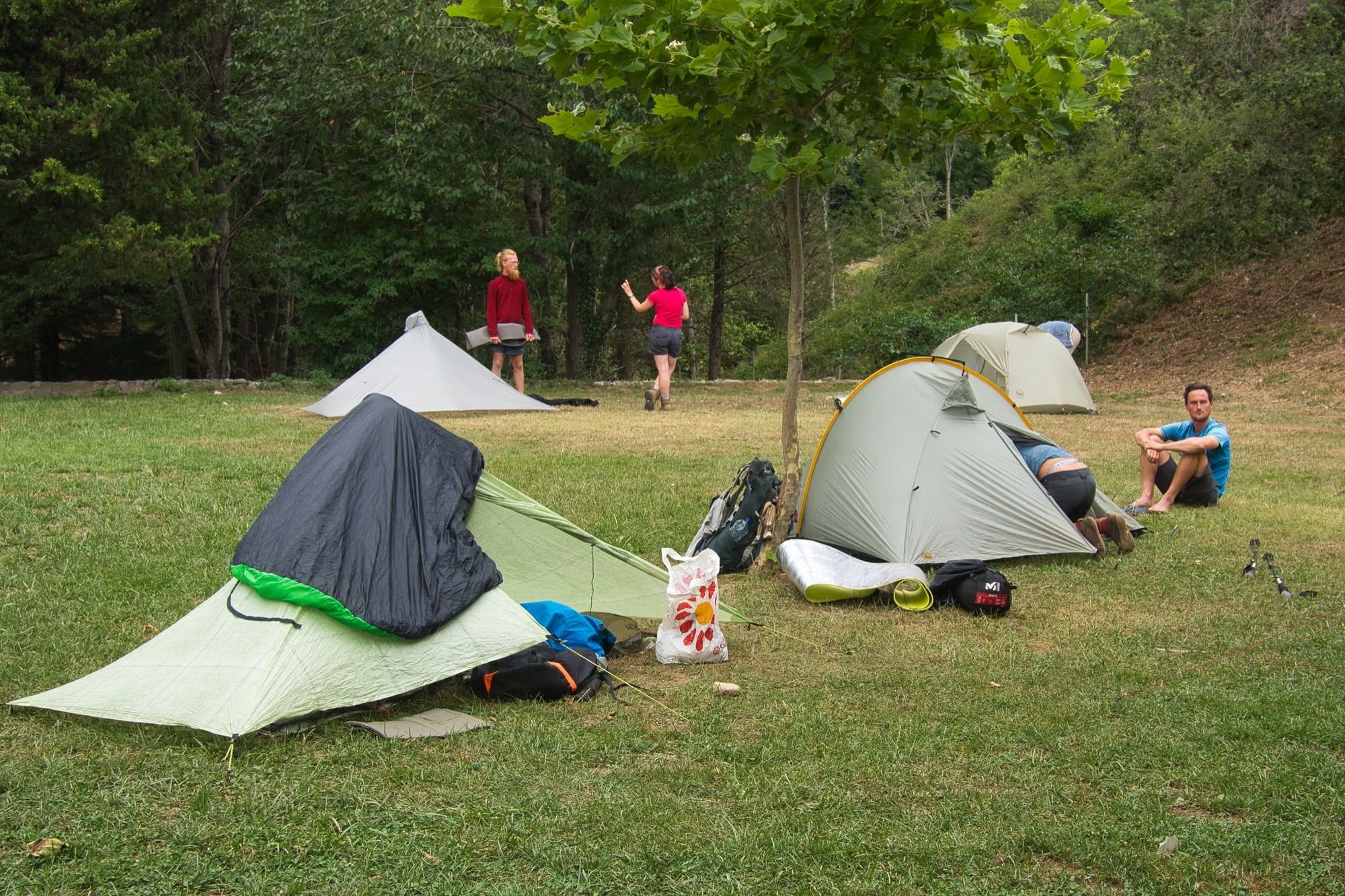
For most of the trail I hiked alone and nurtured whatever solitude I could find (often less than you might imagine), but in the final week I made friends with a few other HRPers. Jakob, a German ultralighter, completed his thru-hike in only 20 days. I met him at Las Illas hiker town where we geeked out for a while over packs, shelters, and the merits of going stoveless. Alexis and Michel (I think I have their names right!) were French section hikers I’d bumped into a few times since Hospitalet, but only got talking to at Arles-sur-Tech, and we walked together for a day or so after that. All four of us completed on the same day and took the same night train from Banyuls to Paris. Although I value solitude above all else on the trail, it felt good to be part of a hiker community for those last few days.
I’ll write about top wild camps, gear, photography, and more in subsequent posts and features. A brief account such as this can do no more than give the most cursory outline. It can’t convey the moments of wonder or poetry, the magic of doing nothing, the way time itself distends and returns to its true scale, the remarkable wildlife encounters, or the hundreds of individual stories I experienced and recorded in my journal. But those are tales for another time and another medium.
Every long-distance hike I’ve done has changed me in numerous ways, mostly subtle, but this time I think the changes run deeper. I can’t yet grasp quite how the experience has moulded me, but given time – maybe weeks, maybe months – I’ll understand. I’ll be making changes in areas of my life and work as I seek to implement lessons learned in the land of slow time. But I think the key lesson of the HRP is one I already knew: spellbinding as it is to spend time out there in the wild, even an extended period, for me true happiness is to be found at home with my wife. To be reunited with her after five weeks is a greater blessing than the thousand blessings I received on the trail.
If you’d like to find out when I publish further writing about this trail, the best way of keeping up to date is to either subscribe to this blog’s RSS feed or subscribe to my weekly Pinnacle Newsletter.
All images © Alex Roddie unless otherwise specified. All Rights Reserved. Please don’t reproduce these images without permission.

Alex Roddie Newsletter
Subscribe here to receive my occasional personal newsletter in your inbox. (For the fun stuff, please consider subscribing to Alpenglow Journal instead!)