Pyrenees
The Haute Route Pyrenees – a very brief account
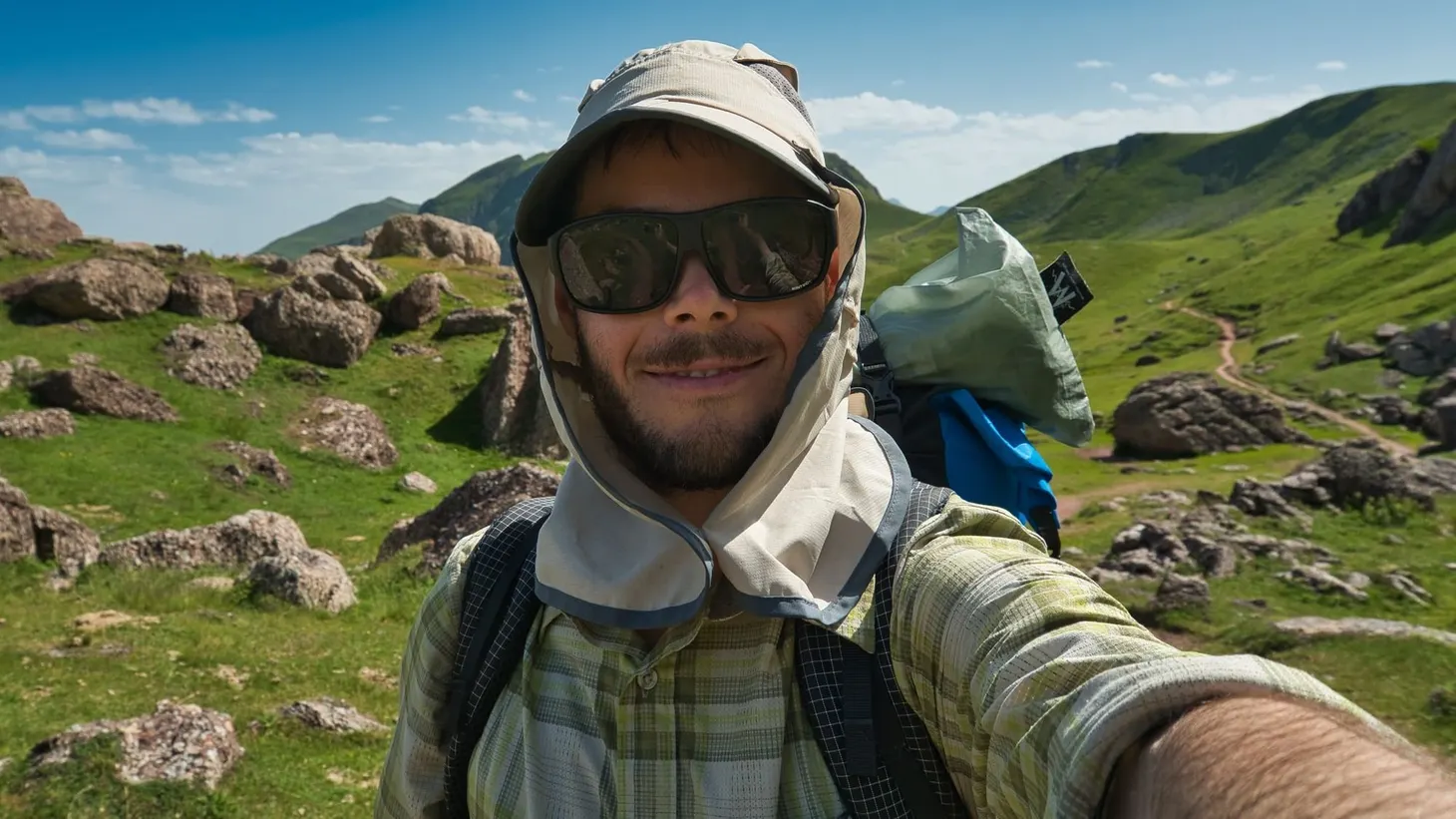
On 21 August 2019, I dipped my toes in the sea at Banyuls-sur-Mer, the eastern terminus of the Haute Route Pyrenees. Here are a few highlights and impressions from my 832km walk from Atlantic to Mediterranean. In figures * Distance hiked: 832km / 517 miles (measured by GPS; almost 100km
Chased by Storms: 113 miles along the Haute Route Pyrenees and GR11 in 2016
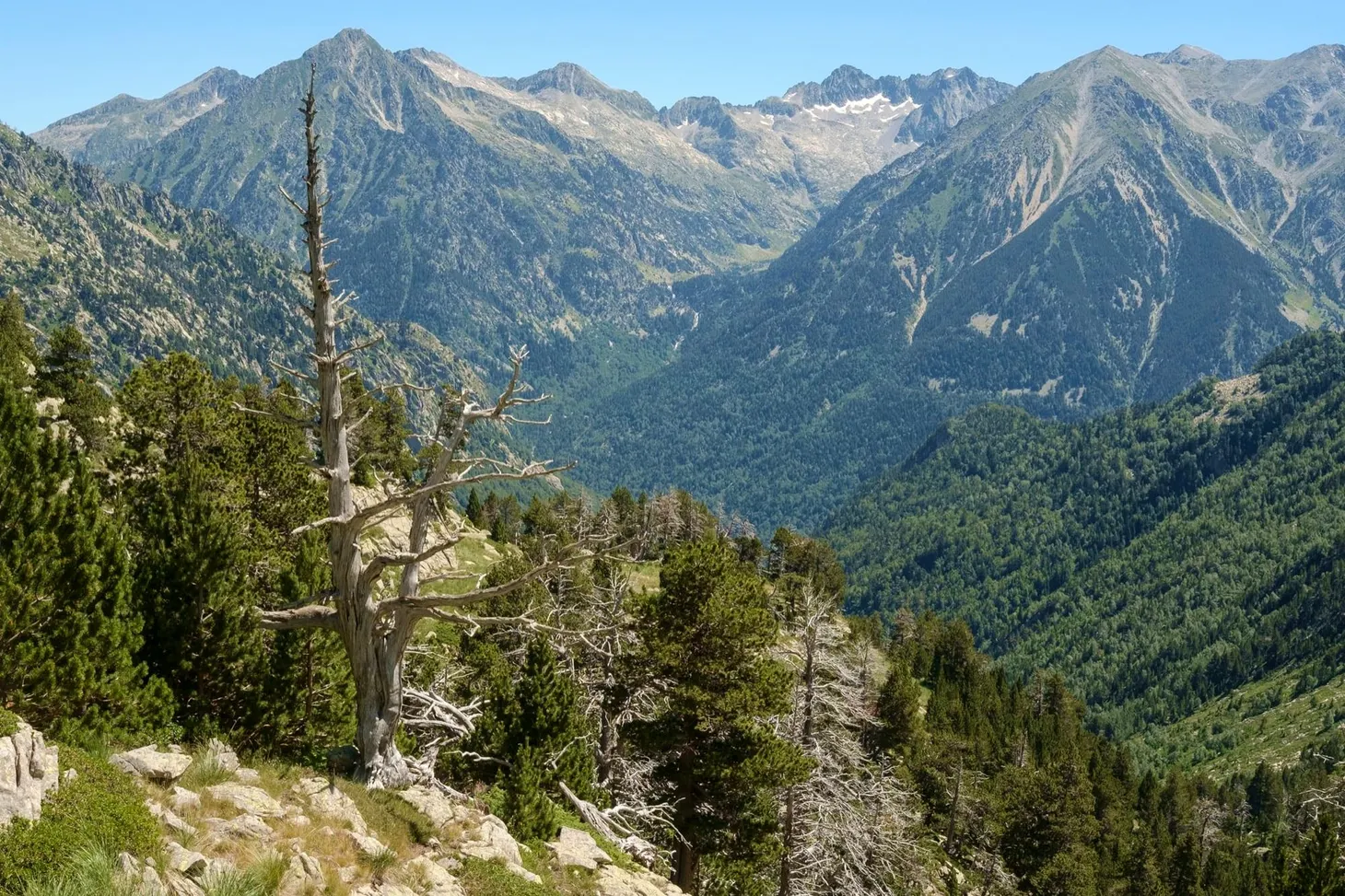
Three long-distance routes traverse the Pyrenees: the GR10, GR11 and, most challenging of all, the Pyrenean Haute Route. In 2016, on the hunt for mountains and summer sun, Alex Roddie got a taste of each of them. This feature was first published in the August 2017 issue of The
Haute Route Pyrenees planning: maps, apps, GPX data, and more
Updated 2019-07-12 to reflect my final setup on the eve of my hike. From mid-July 2019, I’ll be thru-hiking the Haute Route Pyrenees. Planning is now well underway, and in this blog post I’d like to outline my approach to maps, route planning, and
My work’s appearing in a photo book published next month: The Hidden Tracks
Today I received word that several of my images from the Pyrenees, captured in 2016 during my HRP section hike, are being published in an upcoming book called The Hidden Tracks by Gestalten. I don’t know which images they’ve selected for inclusion – I submitted a bunch of them
The Haute Route Pyrenees: Field Notes
In the August 2017 issue of The Great Outdoors, you’ll find my latest backpacking feature, entitled Chased by Storms. Here’s the lowdown on my route through the Pyrenees along with some extra photos and notes. My July 2016 trip to the Pyrenees was a first for me – my