Field Notes: the Ardgour-Mull Trail

A long-distance trail from Glenfinnan to Mull
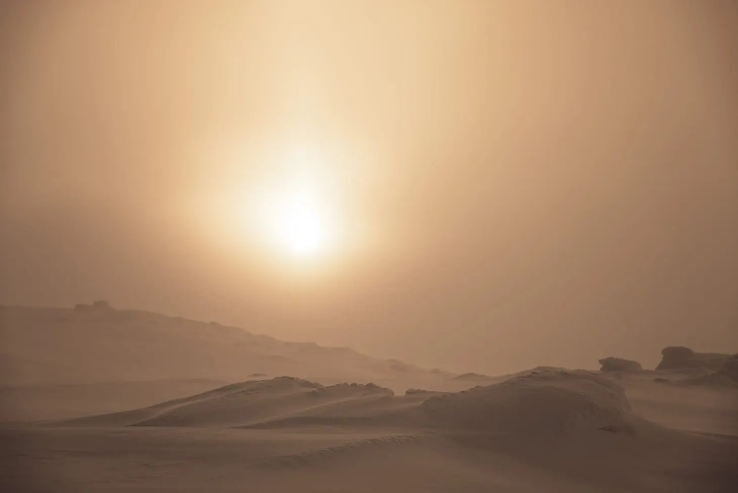
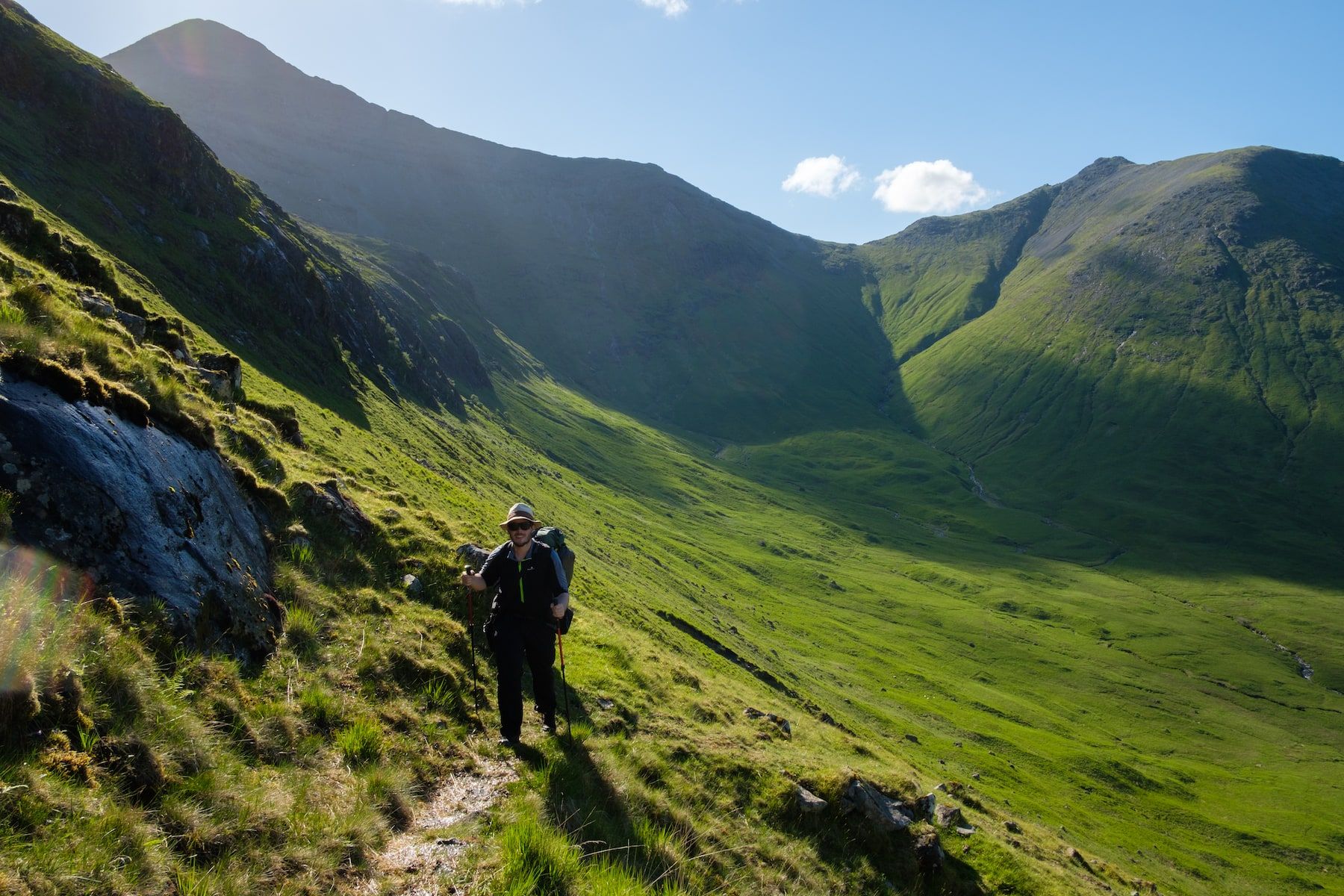
On May the 29th 2017, I began what was to be a tough walk in the Scottish Highlands and Islands, meandering its way over the bealachs and hills of Ardgour before crossing the sea to Mull and continuing its circuitous path there. I saw eagles and otters, I was lashed by rain and almost blown from an exposed high camp, and I trudged through mile after mile of bog. For a couple of days I even saw a bit of fleeting sunshine. It was the Scottish long-distance mountain walker’s experience in a nutshell, and while I can’t claim it was the best route I’ve done in recent years, it was certainly worthwhile.
The full story of my Ardgour-Mull Trail was published in the June 2018 issue of The Great Outdoors, which is in shops now. In my feature I talk about how my brother’s Lyme disease diagnosis affected my experience on the trail. Until more or less the last minute, he’d intended to take this route with me, and planning was very much a mutual effort – although James had by far the most input into the Mull section, as he knows Mull well.
As usual with my ‘field notes’ pieces, this short article contains previously unpublished photos and impressions of the route. It’s best read in combination with my feature.
You can watch a video I made about this trip here.
Glenfinnan to Lochaline
This section is 43 miles in length and took me four days to walk, including a very short half day at the beginning of the trip. I believe the route I took is the most logical foot journey between these two points.
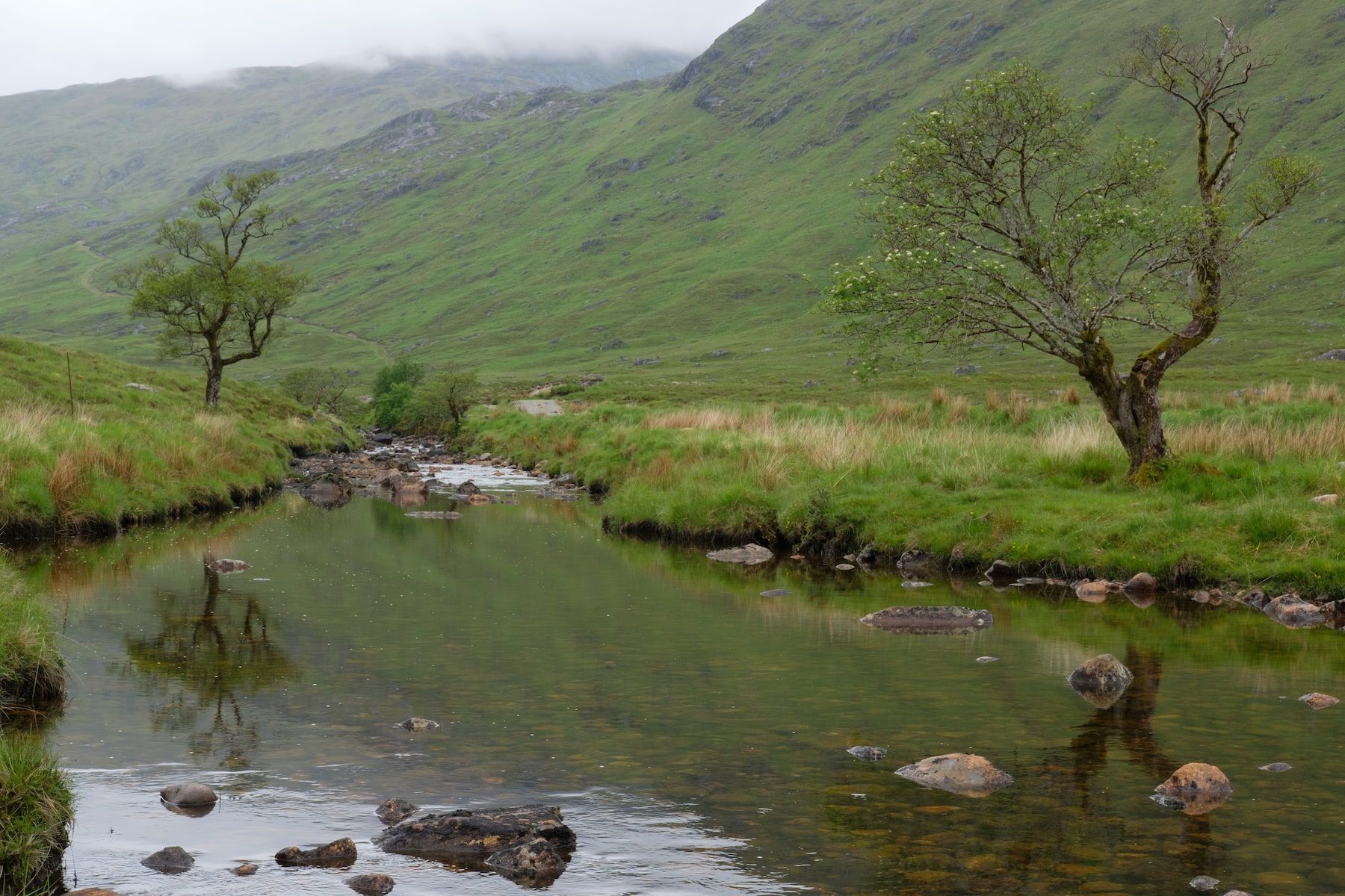
The first bealach, over into the Cona Glen, follows the Cape Wrath Trail southbound and is pretty easy (there is even a path). At the bottom of the Cona Glen there are various places where it’s possible to camp, but due to the sodden conditions on my trip I selected a midgy little knoll above the river. The river crossing itself is quite easy in most conditions but could become serious after heavy rain.
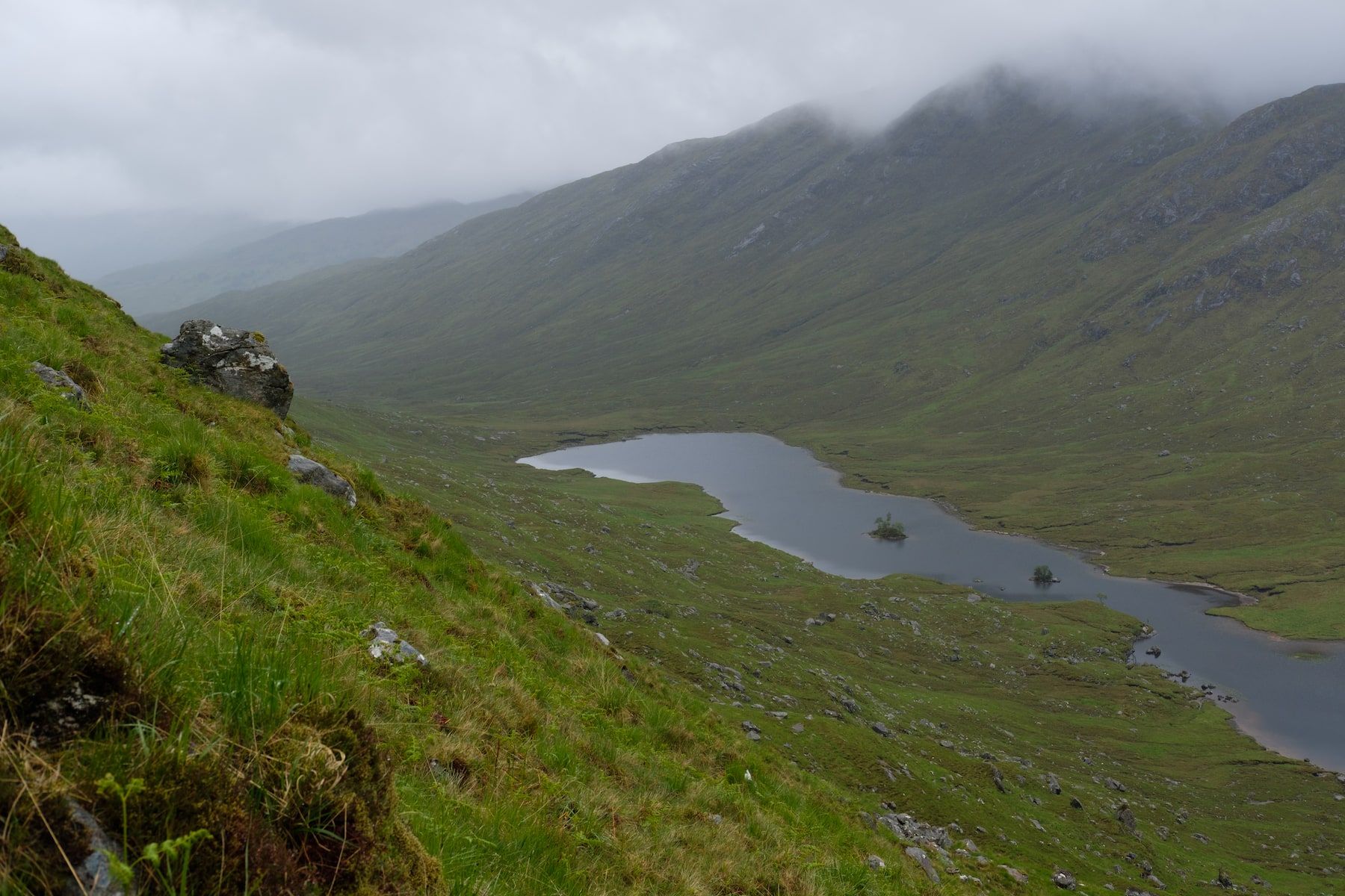
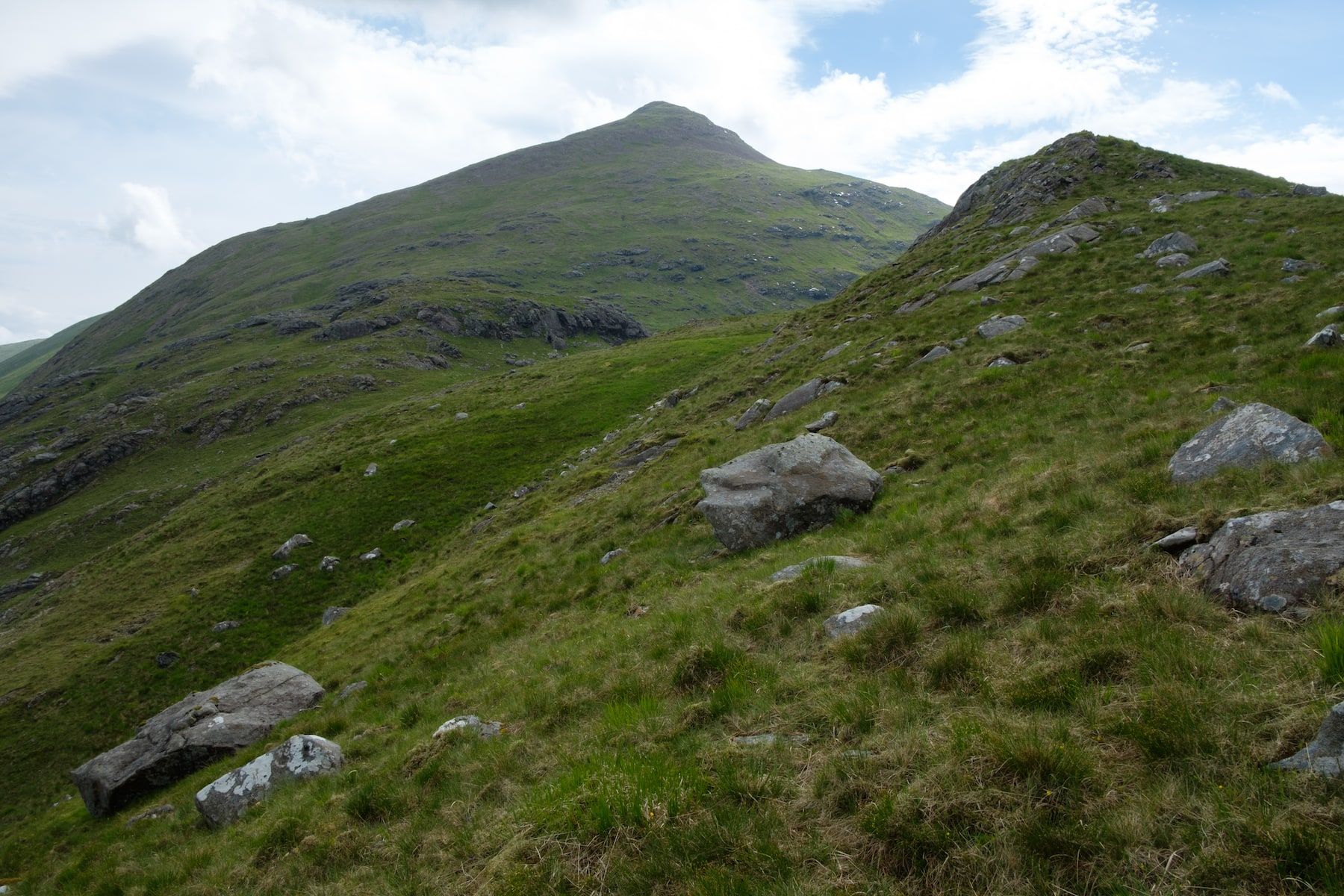
The hardest part of the first section comes with the traverse of Sgurr Shalachain and Beinn Mheadhoin. Although these mountains are not particularly high, the ridge is exposed to bad weather and navigation can be intricate
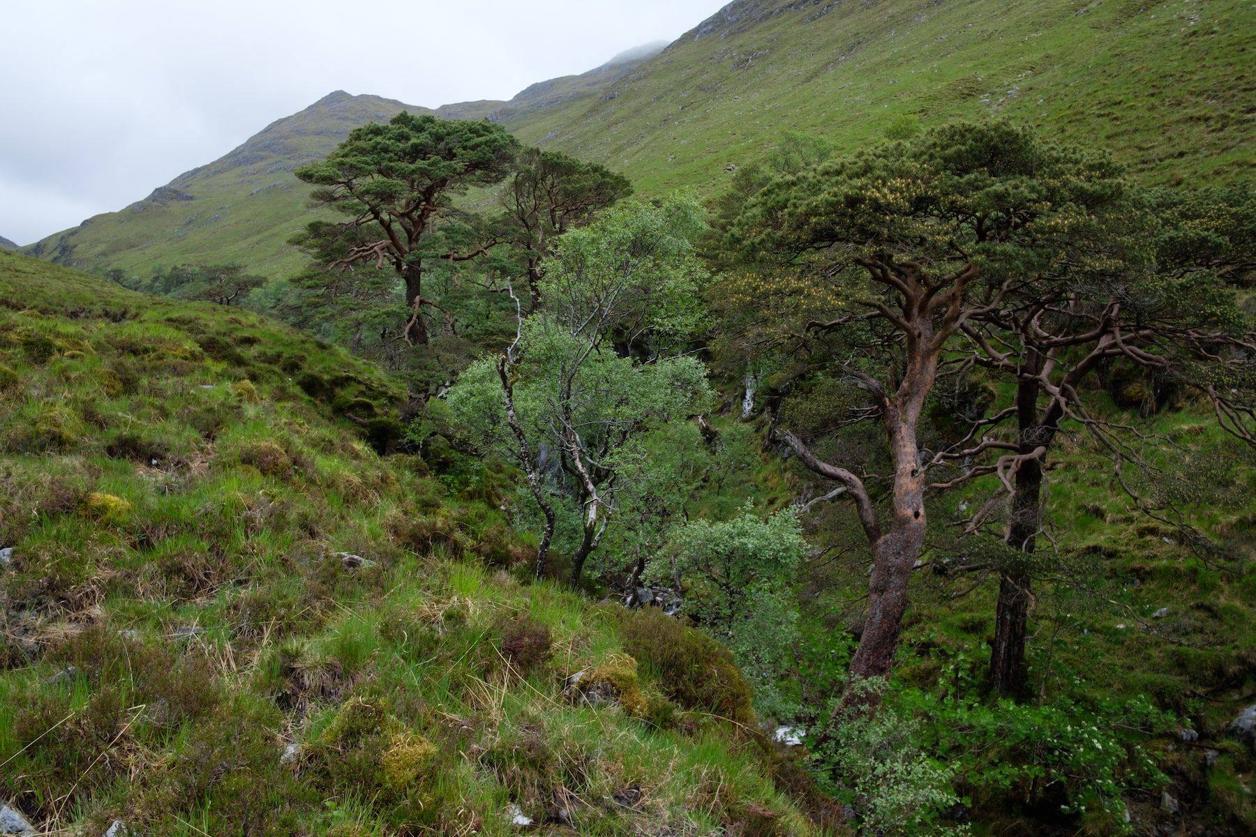
The route leaves the CWT after crossing the river, and the next pass, Bealach a’ Charrain, was quite tough in the conditions (the descent on the south side is steep, and there are no paths anywhere for miles). It’s possible to pick up a vague path on the north side of Lochan Dubh (at the head of the appropriately named Gleann an Lochain Duibh) before crossing a footbridge and fording the Allt Gleann na Cloiche Sgoilite. There are paths some of the way up Gleann Mhich Phail but they soon peter out; fortunately this part of the walk hugs the edge of an obvious gorge, which is crammed full of remnant Caledonian forest.
It’s all downhill from the Bealach Mam a’ Bhearna to the Strontian River, which is an excellent section of trail (you’ll find a path in the glen bottom eventually). I particularly enjoyed walking through the vibrant Ariundle Oakwoods.
Strontian has everything you need for resupply, including a small shop, a cafe, and a campsite if you need it. I didn’t stay in the village, but pressed on before heading up the steep climb towards Bealach a’ Mhonmuir (switchbacks initially, before a great deal of pathless navigation). There’s a fine section of walking on the other side.
The hardest part of the first section comes with the traverse of Sgurr Shalachain and Beinn Mheadhoin. Although these mountains are not particularly high, the ridge is exposed to bad weather and navigation can be intricate. I crossed the ridge in abysmal weather and found it punishing! On the descent southwards off the summit towards the Caol Lochan, there is – you’ve guessed it – once again some very tricky navigation in poor visibility. It was a compass-in-hand sort of day.
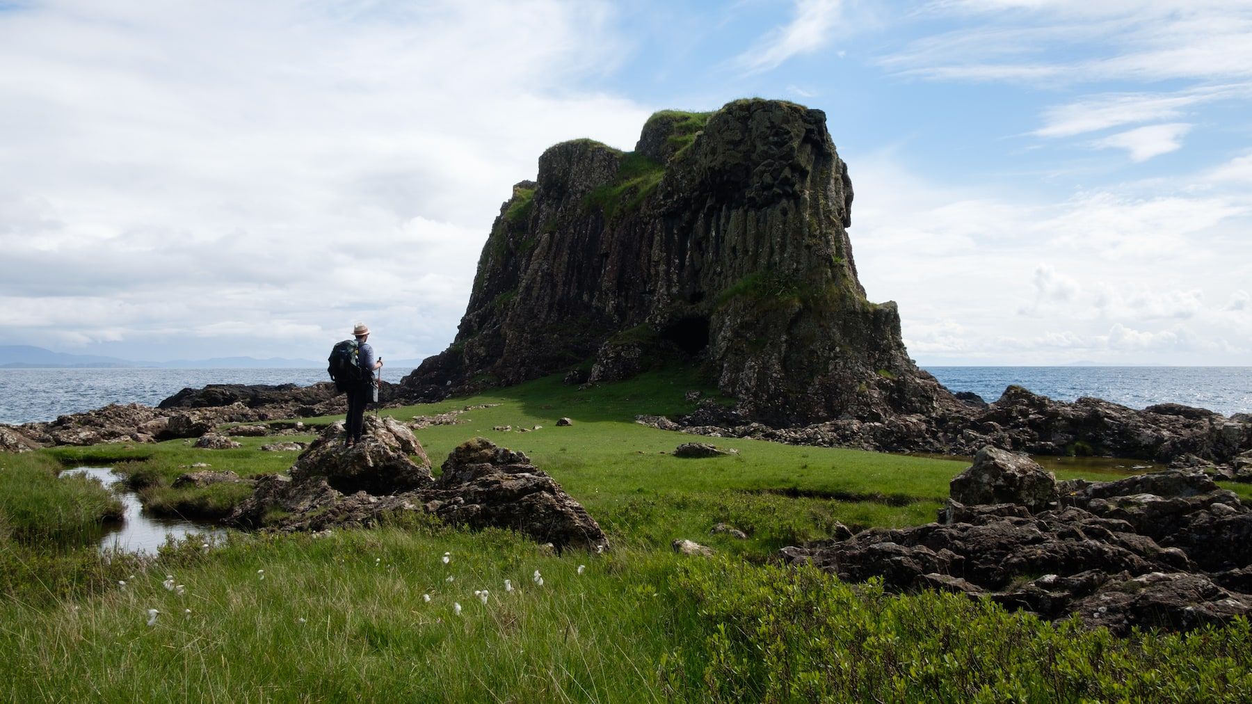
From the Caol Lochan, a good path leads directly to the bothy of Leacraithnaich, which is in a splendid location (although the roof leaks). It’s an easy walk from the bothy to Lochaline where I caught the ferry across to Fishnish on Mull.
The Mull section
This section is 50 miles long as walked. It took me three and a half days. Many variants are possible here, and I did more road walking than I’d have liked, partly thanks to poor weather at the end of the trip – but I want to go back and do that section of coastline around the Ardmeanach peninsula too, instead of cutting to the east of Ben More. I think every backpacker who goes to Mull with a multi-day route in mind will come up with a different plan.
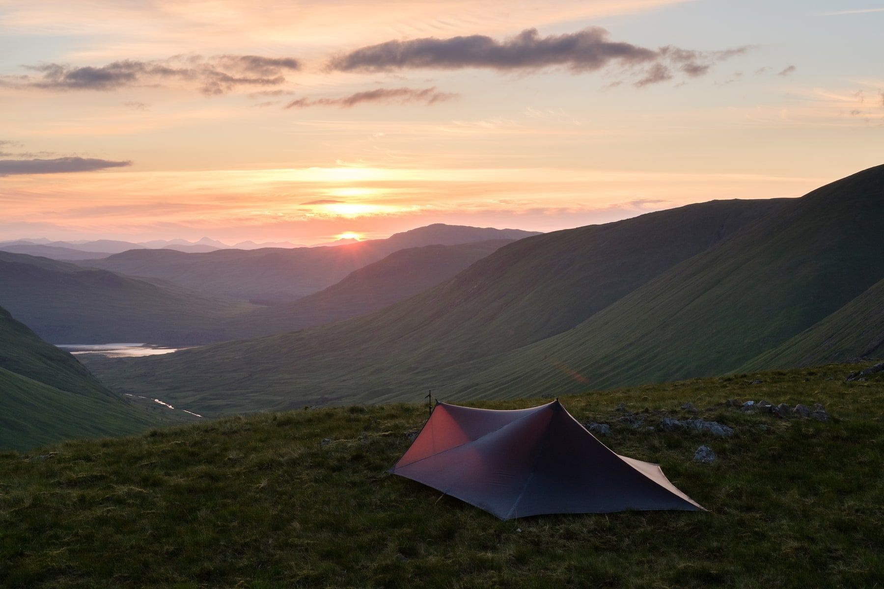
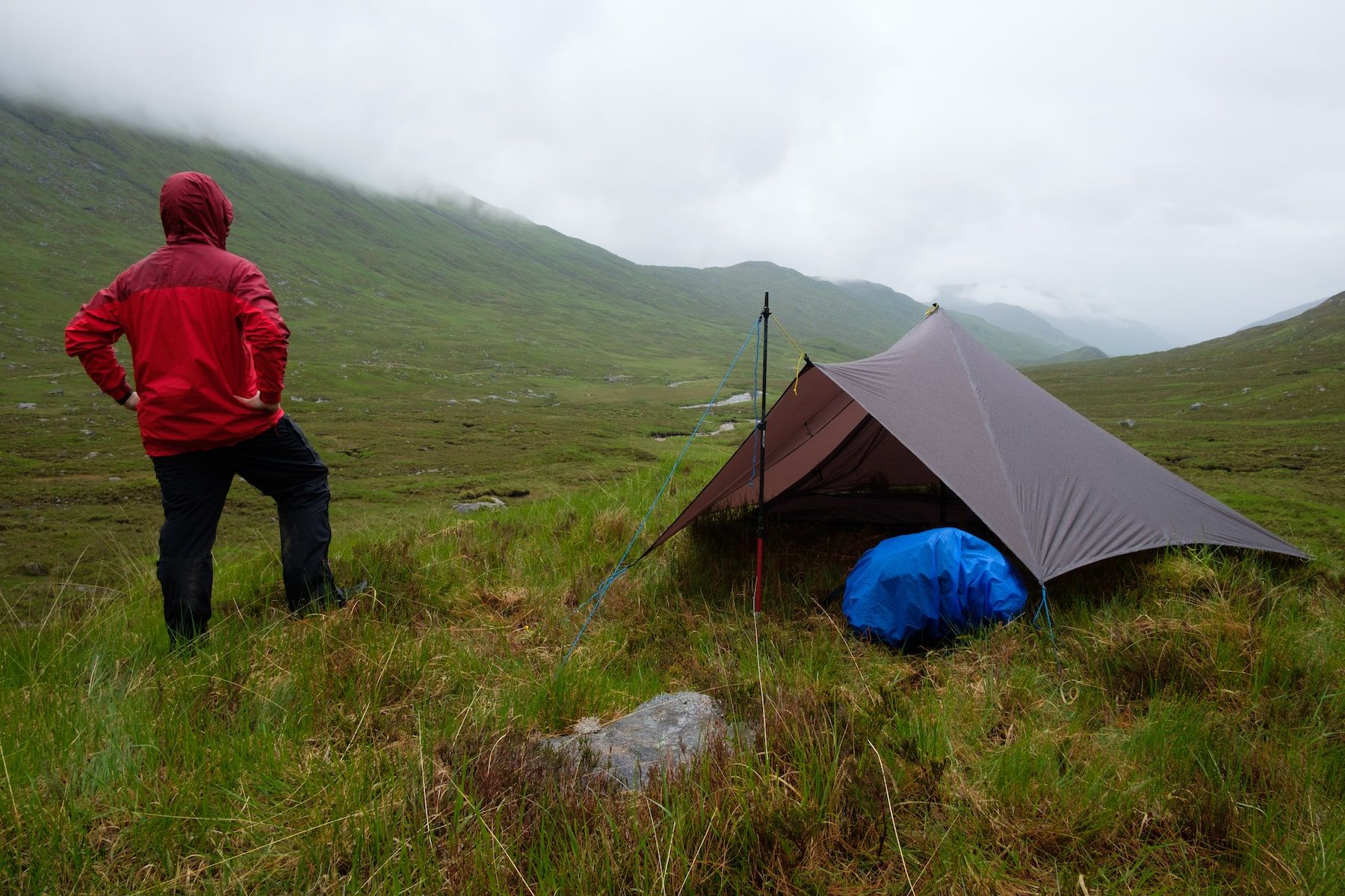
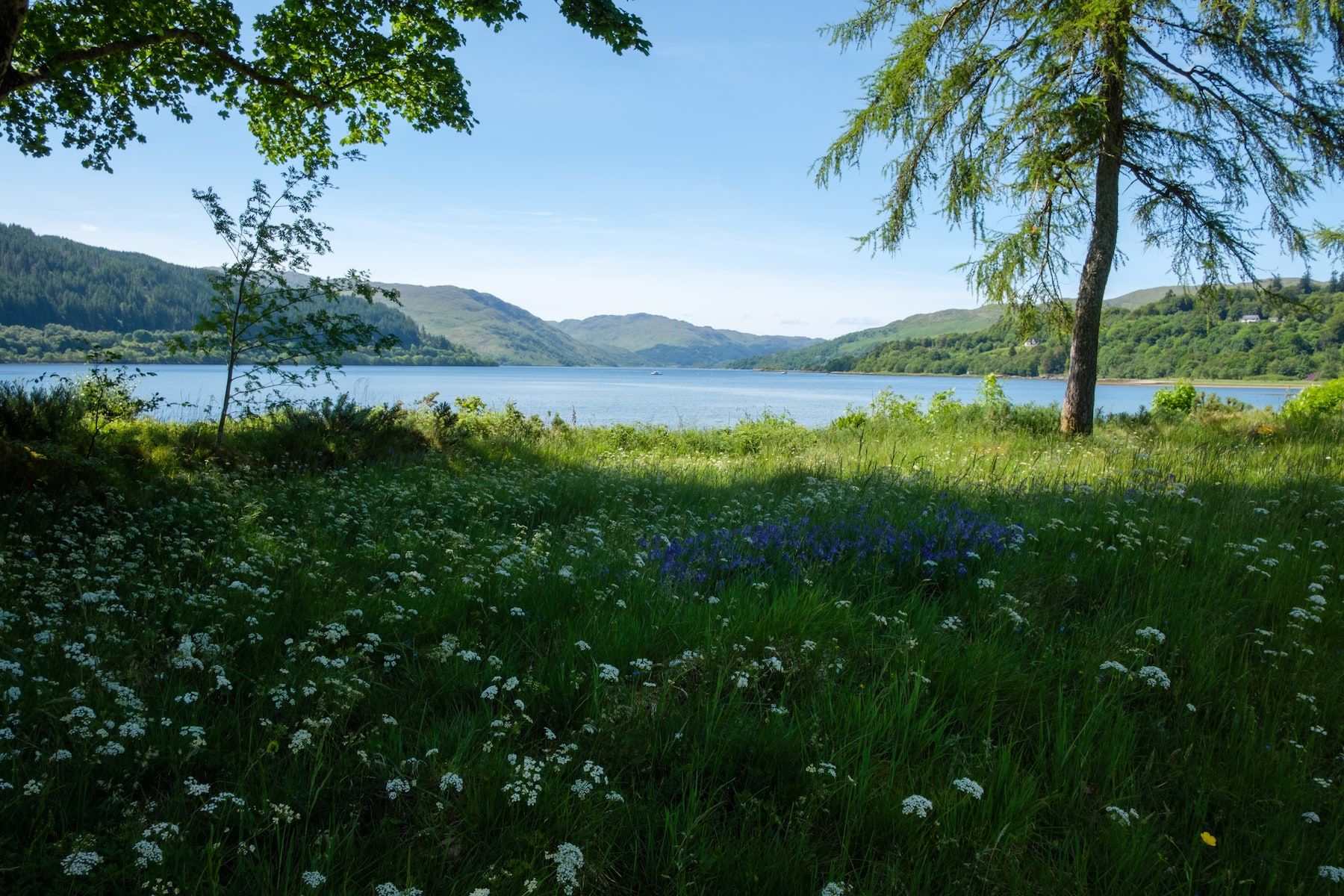
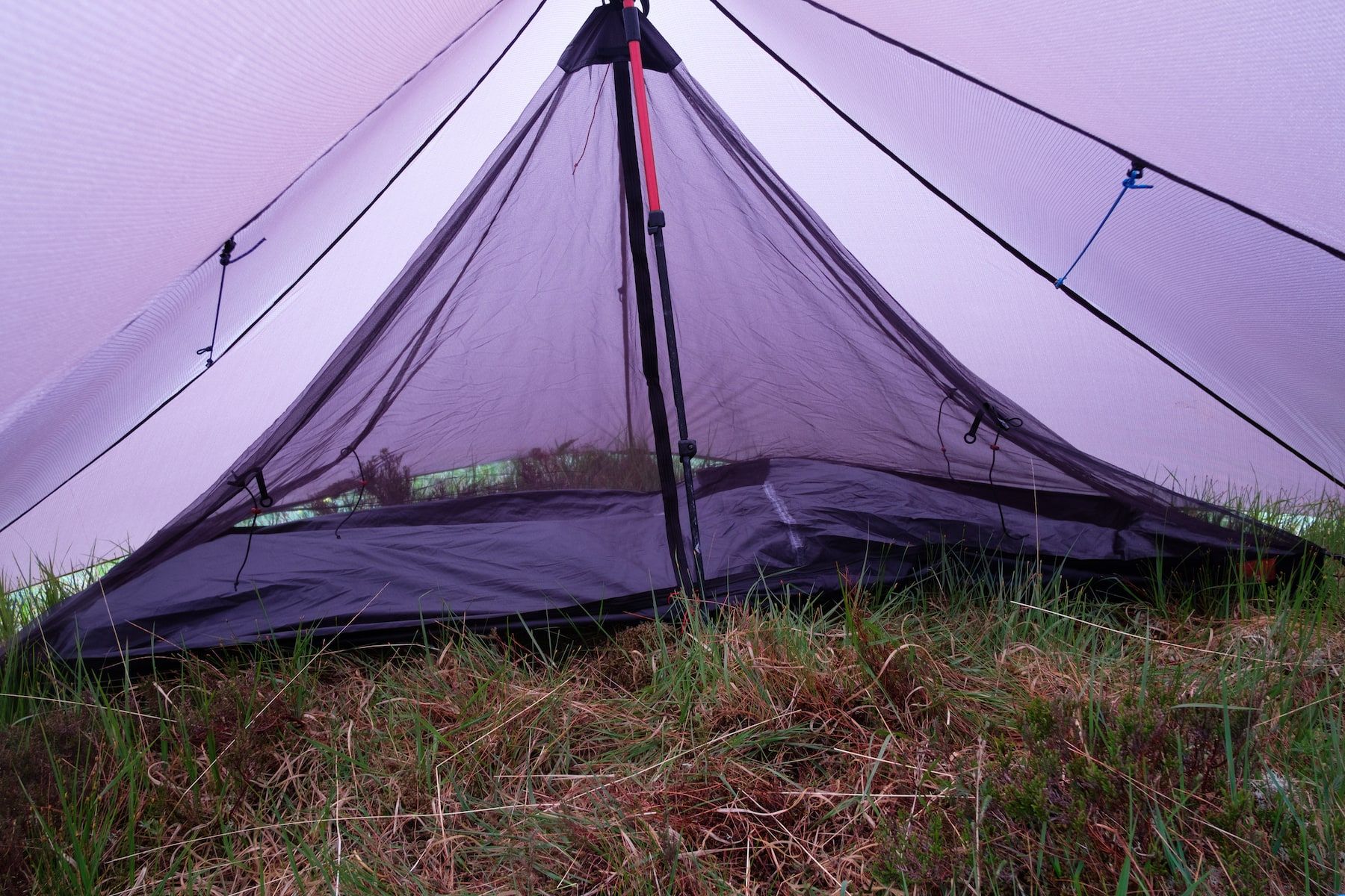
I hitched a lift from Fishnish up the road to Salen, where there is an excellent coffee shop, and enjoyed some chilled-out walking through the woods towards Killiechronan and past Loch Ba. A good path heads through Glen Clachaig and up to the Bealach MhicFhionnlaidh directly beneath A’ Chioch, an imposing subsidiary top of Ben More itself. This was a fine section of trail. It coincided with good weather for me, and my camp above this bealach made for one of my best ever Trailstar pitches.
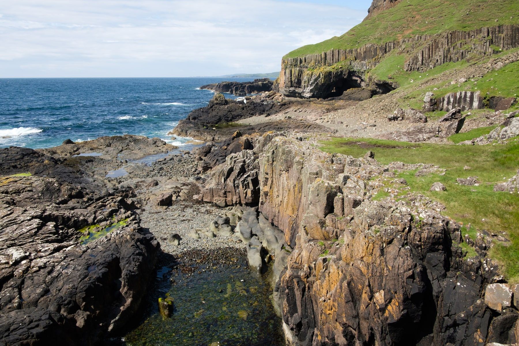
The next day, I’d originally planned to traverse Ben More, but a looming thunderstorm forced me to change plans so I nipped up the nearby conical peak of Cruachan Dearg instead. Although tempted to head east and stay high, I dropped down to the road, keen to head to the south of the island for some coastal walking. Road walking took me through Pennyghael to Carsaig, where I made the out-and-back trip to the Carsaig Arches before enjoying a truly spectacular section of trail eastwards beneath the cliffs to Lochbuie. This is world-class backpacking and I enjoyed every moment (although there has to be a better way of getting there than all that road walking!)
I headed north from Lochbuie up the shapely little glen of Gleann a’ Chaiginn Mhoir, where the weather deteriorated and rain started blowing in through the porch of my Trailstar. The rest of the trip was, unfortunately, a washout and I abandoned my plan of a high-level route to Craignure, taking the road instead.
In Craignure, there’s an excellent bunkhouse and a ferry link with Oban.
Gear debrief
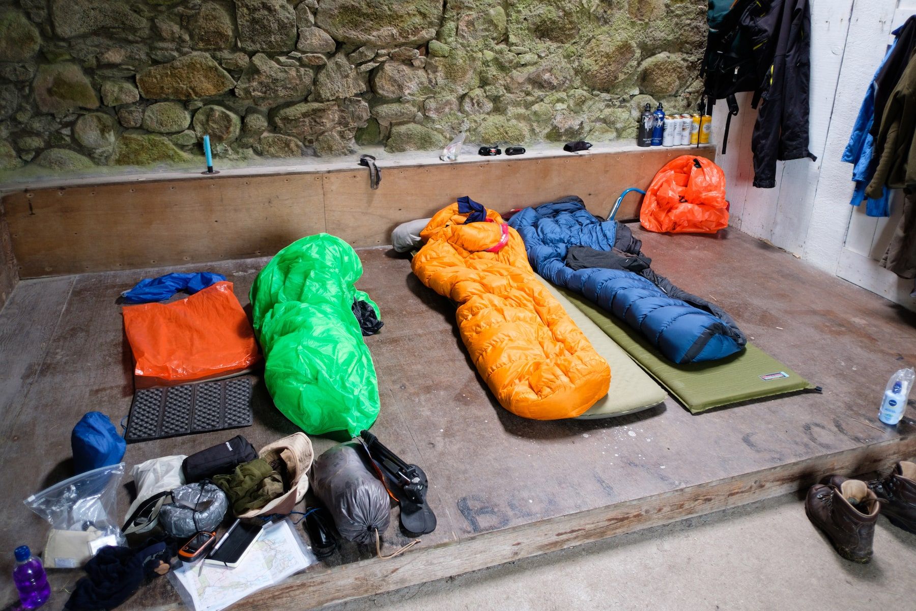
You can find the list of gear I took to Scotland in 2017 here. With a base weight of just over 9kg, it was the heaviest pack I’d carried in a while, largely thanks to packing far too much in the way of electronics and camera gear. I’ve made some changes to my setup since this trip!
A few notes:
Camping and packing
I took the Mountain Laurel Designs Trailstar, which was an excellent choice as usual. The Oookworks Weenest inner did the job of keeping midges off me, but it wasn’t a perfect fit under the Trailstar and was quite heavy at 428g. On the other hand, the deep bathtub groundsheet was reassuring given the soggy conditions underfoot.
My quilt this time was the As Tucas Sestrals, an ultralight synthetic quilt weighing 669g and rated to freezing. It performed flawlessly in some very damp conditions. A proper review of this item is in the works.
I experimented with removing the frame from my ÜLA Circuit pack to save weight, but this was a false economy as it didn’t carry the load as well.
Clothing
The only new item here was a Marmot Precip jacket. This is a very basic and fairly light waterproof. It worked well enough, although the hood wasn’t as good as I’m used to, and it did wet out during some of the atrocious weather I experienced.
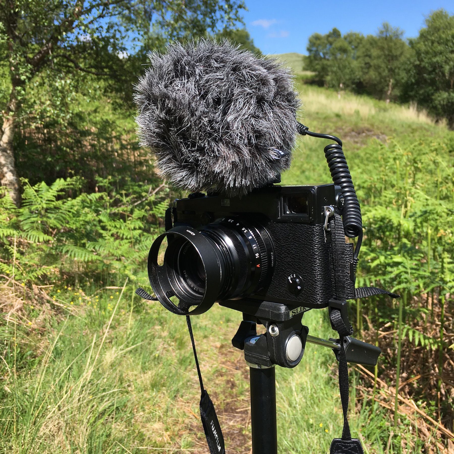
Electronics and camera
Yes, I carried far too much! Standalone GPS, big tripod, pocket tripod, shotgun microphone, hulking great big mirrorless camera with two prime lenses… and all the various batteries, adapters and bags necessary to support this lot. Camera and electronics ended up weighing 2.9kg and after this trip I decided to drastically simplify my setup (as of May 2018 I’m down to less than a kilo).
It’s worth mentioning the OverBoard Waterproof Roll Top camera bag, which I used to carry my camera. It developed holes quite quickly and leaked like a sieve, so much so that my camera was actually sitting in a puddle at one point. When I sent the bag back to the manufacturer, they cited wear and tear and declined to repair it. Not great, if I’m honest.

Alex Roddie Newsletter
Subscribe here to receive my occasional personal newsletter in your inbox. (For the fun stuff, please consider subscribing to Alpenglow Journal instead!)